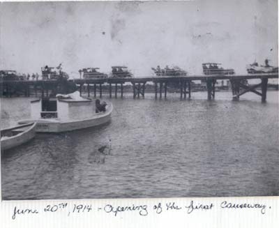
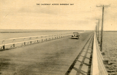
The Causeway Bridge
The Causeway shack, of course, is only called that because it is one of the first things that greets you on crossing the Causeway bridge! Here are some wonderful historical photos showing the development of the Causeway bridge (and in turn, Long Beach Island). If you have any shack or Causeway photos that you would like to share here, please upload them at this page. or use the email address below. We are also adding captions and more information as we go, so if you have something to say about these pictures, let us know at: TheLBIshack@gmail.com
Photos courtesy of the Stafford Historical Society. Fun find!
Free download of the 1914 edition of The Lure of Long Beach, for your Kindle or other book reader courtesy of the Internet Archive.
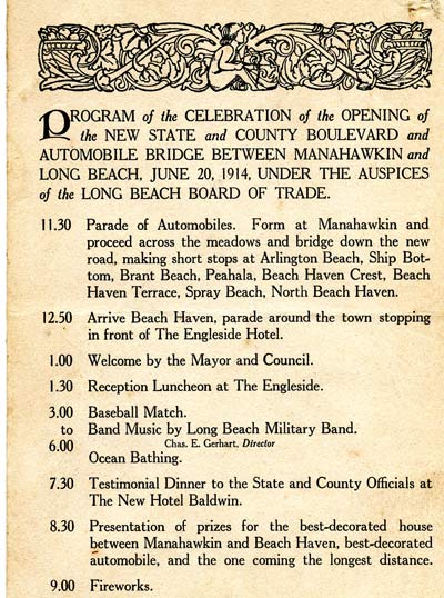
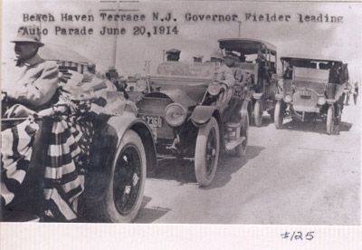
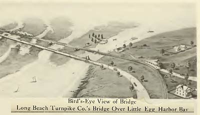
Program given out during the grand opening of the bridge and boulevard on June 20, 1914. Note the prize for the automobile "coming the longest distance." Courtesy of Sam Leifried |
|
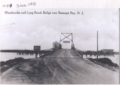 |
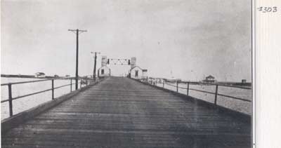
 The 1914 bridge, which paralleled the rail tracks, was good for mainland business as well; "On the mainland the farmers are tilling more land to vegetables because they will be able to market their produce on the beaches." The Lure of Long Beach, George B. Somerville, 1914 |
 "...but the bridge was useless without some means of getting to it at either end. At the mainland end the bridge began in a meadow and was separated from uplands by a great swamp. At the beach end the bridge ended six miles from Beach Haven, with no road between." The Lure of Long Beach, George B. Somerville, 1914 |
Courtesy of Sam Leifried
|
 |
 |
 |
 Taken in September 1948 by Bill Kane, owner of the Nor'easter store in Beach Haven Terrace. Also used as a post card as mentioned in Picturing Long Beach Island by Glenn D. Koch. |
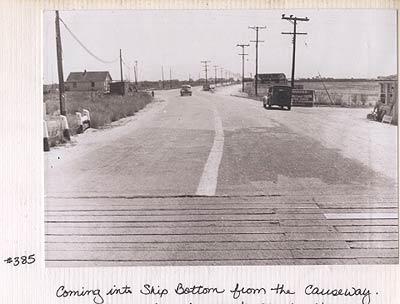 Although this photo says "coming into Ship Bottom," we believe it is facing the opposite direction. Our take is that it's Old Bay Ave. in Manahawkin facing westward, where Blacky's Clam bar still is. The edge of Blacky's can be seen in the photo. |
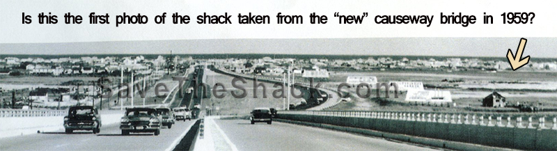
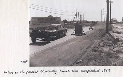 Same general vicinity as photo to the left, but facing east toward the Causeway heading toward LBI, in the late 1950s. |
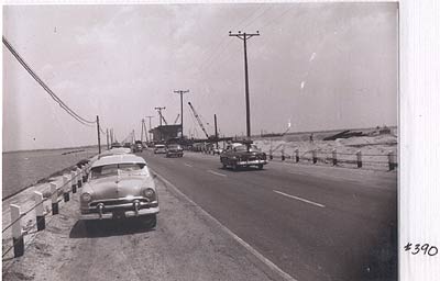 The Causeway end at Ship Bottom looking toward the mainland in the1950s. |
 |
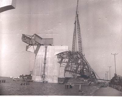 |
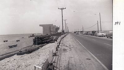
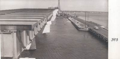 This undated photo shows construction of the present Causeway bridge paralleling the original span. |
 |